
Product description
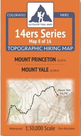
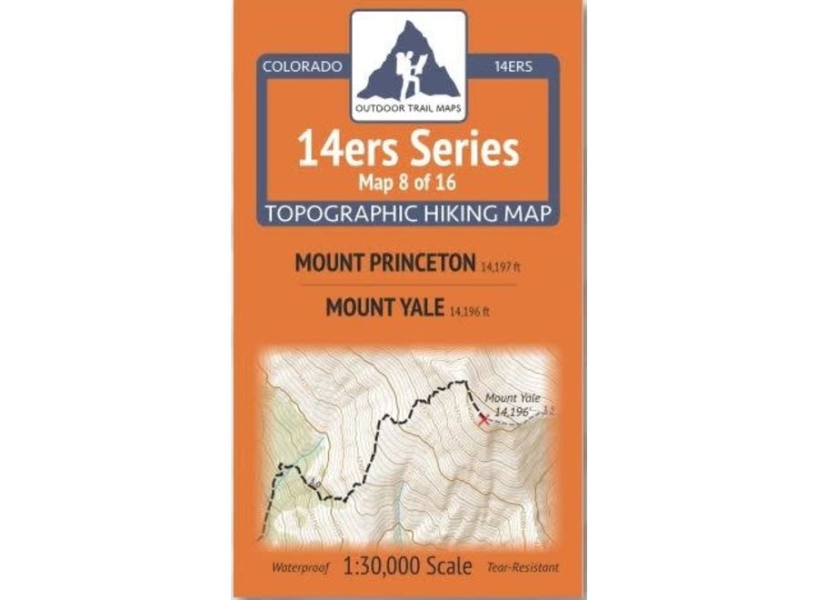
14ers Series Topographic Hiking Map 8 of 16 covers fourteeners Mount Princeton on the front side and Mount Yale on the back, including all hiking trails in the surrounding areas. This rugged trail map was designed for on-trail use in the toughest outdoor conditions and includes the following features:
- Waterproof and tear-resistant paper
- Ultralight weight – under an ounce
- Detailed 1:30,000 scale (1 inch ≈ ½ mile)
- Distances for all trail segments
- Compact folded size to fit in your pocket – only 3.8” wide by 6.5” tall
- Convenient size and foldability for quick and easy on-trail review – 19” wide by 13” tall unfolded – no more fumbling with huge maps while on the go
- All fourteener trailheads – not just the popular ones – with GPS coordinates
- GPS coordinates for all key trail junctions
- Route difficulty classes for each peak
- UTM 1000 m grid along with latitude-longitude ticks
- Easy-to-read and intuitive
The front of 14ers Map 8 shows Mount Princeton and the surrounding areas, including a stretch of the Colorado Trail, Chalk Creek Trailhead, Agnes Vaille Falls Trail and the Narrow Gauge Trail.
Featured on the back of Map 8 are routes to Mount Yale from the south via Denny Creek Trailhead, from the east via the Colorado Trail and Avalanche Trailhead, and from the North via the Kroenke Lake Trail and North Cottonwood Trailhead. A stretch of the Colorado trail from Silver Creek Trailhead down to CO Road 306 along Cottonwood Creek is shown on this map along with the Browns Pass Trail and area and Hartenstein Lake Trail and area. This is Map 8 of 16 14ers Maps covering all Colorado 14ers.
Recently Viewed
Outdoor Trail Maps
Outdoor Trail Maps 14ers Series Map 08/16 Princeton | Yale
$5.95

Edelrid
Edelrid Edelbeak Night Large
$64.95

7Mesh
7Mesh Tantalus Jersey LS
$180.00

Velotric
Velotric Left Mirror 2.0
$43.99
Outdoor Trail Maps
Outdoor Trail Maps 14ers Series Map 15/16 Sneffels | Handies, Redcloud, Sunshine
$5.95